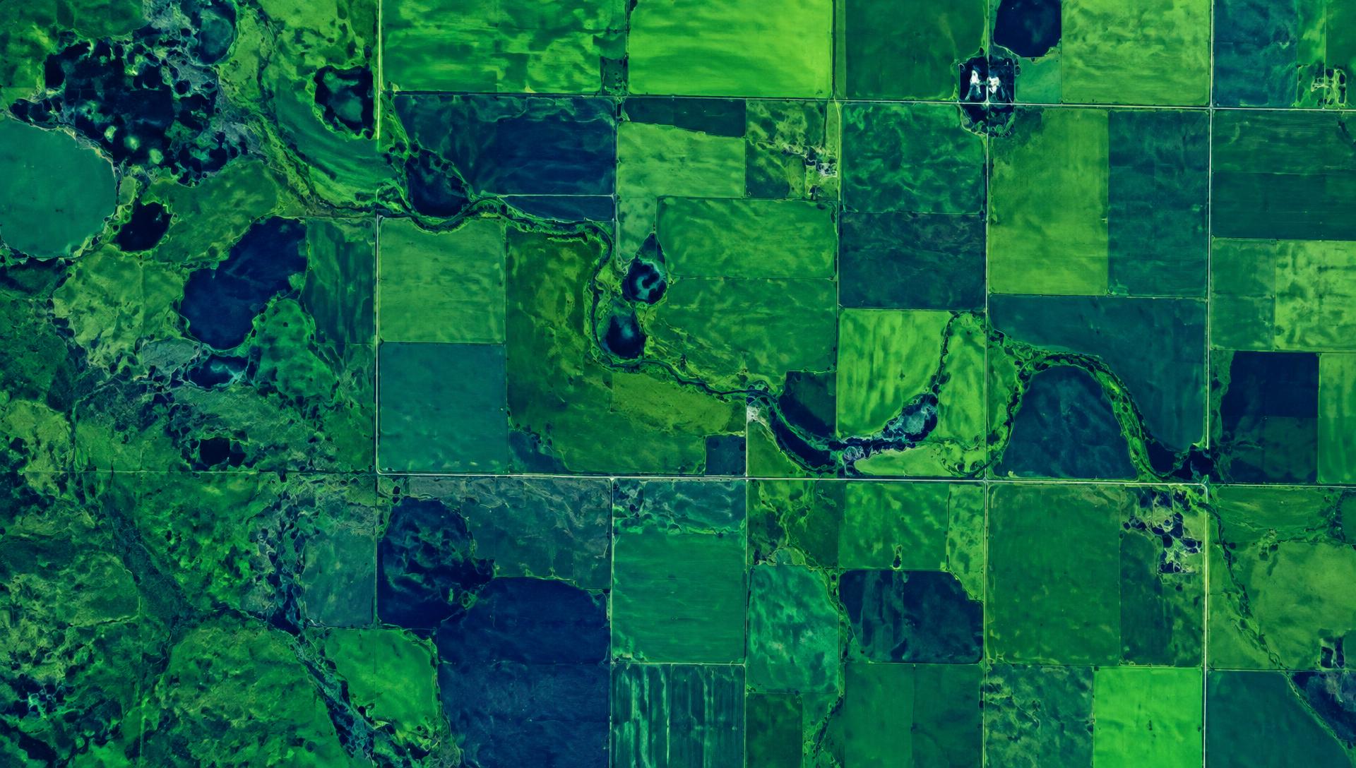
Satellite · AI · Evidence
Environmental intelligence for Canada.
Earth Sense turns satellite imagery and AI into decision-grade evidence on land, forests and wildfire, for the institutions that finance, insure and supply the food system.
Satellite intelligence for a planet under pressure.
- 4M+ hectares monitored
- Canada and Colombia
- Multi-source satellite and climate data
- AI-driven analytics
Solutions
Four ways we turn imagery into evidence.
Sustainable land management monitoring
Field-level vegetation and land-use monitoring over time.
Learn more →02Deforestation
Detection and verification of forest loss and land conversion.
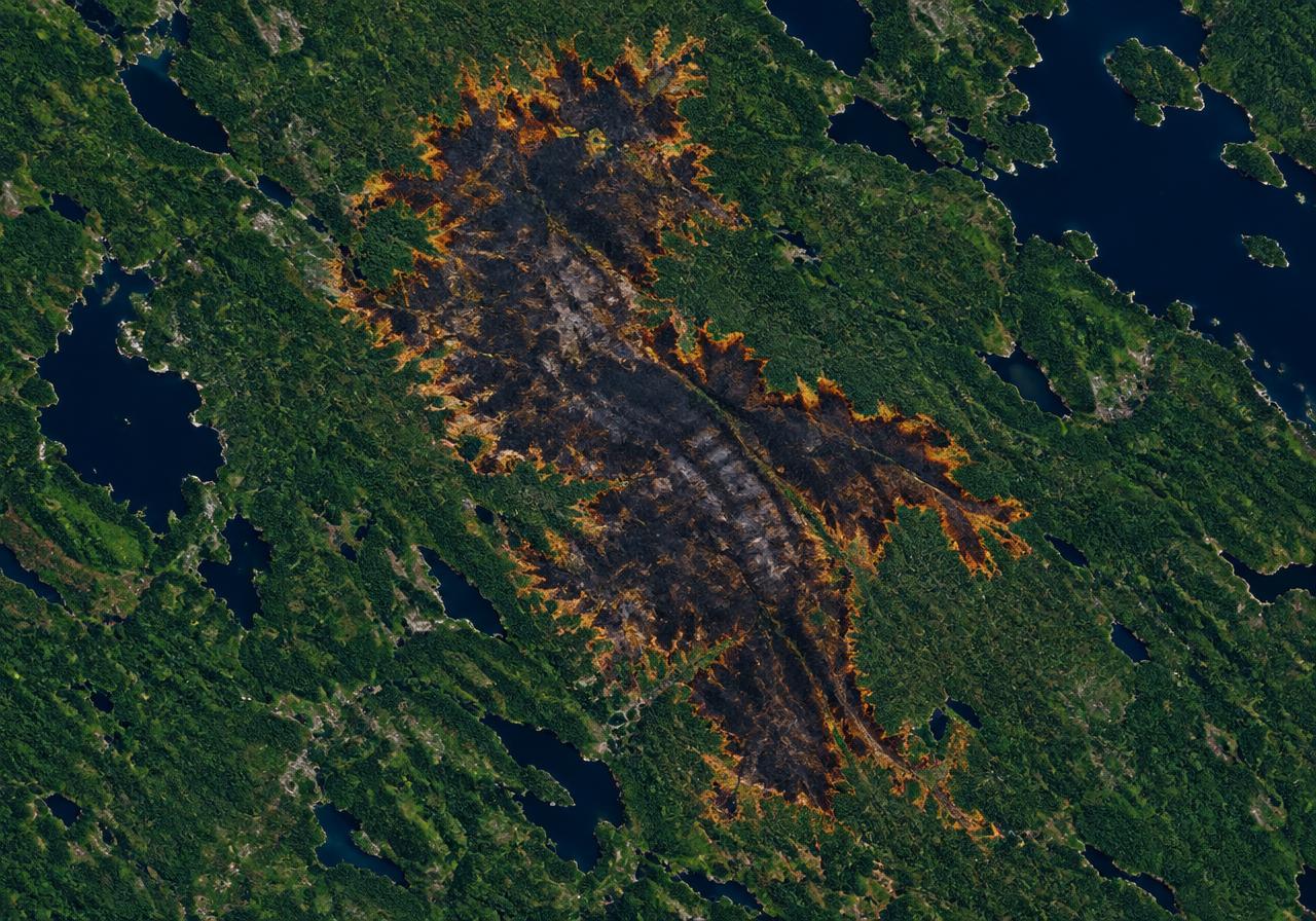
Learn more →03Wildfire
Detection, burn-area mapping and exposure insight.
Learn more →04Sustainable agri-finance
Independent satellite evidence for climate risk and reporting.
Learn more →How it works
From orbit to decision in three steps.
- 01
Observe
Satellite, climate and environmental data aggregated from Sentinel, Landsat, commercial imagery, weather and soil sources.
- 02
Analyse
AI models turn raw signals into indices, scores and alerts.
- 03
Act
Insight delivered by platform, API, data feeds or custom reports.
Who we serve
Built for institutions that need evidence, not assumptions.
Financial institutions and insurers
Independent, field-level satellite evidence on land management, wildfire exposure and land-use change, delivered at portfolio scale to support underwriting, credit decisions and disclosure.
Agrifood supply chains
Plot-level monitoring of forest loss, land conversion and farming practice, with evidence packs that support due diligence and supplier engagement.
Government and public bodies
Consistent regional datasets, burn-area mapping and land-use indicators that inform policy, programme design and monitoring.
NGOs and research
Access to analysis-ready indices, change detection and custom projects, with clear methods and provenance.
Partners
What our partners say
Partners across Canadian agriculture on working with the Agtelligence group.
“...we believe that by leveraging Agtelligence expertise, we can drive significant advancements in sustainable agricultural practices and strategic ESG disclosure requirements.”
Damon Johnson
Executive Vice-President, Global Ag Risk Solutions
“...Through this partnership with Agtelligence, we aim to integrate advanced data capabilities into our platform.”
Rory Sullivan
CEO, Grain Discovery
FarmScore
A clear, standardised sustainability score for farmland.
FarmScore turns complex environmental data into a single score used for benchmarking, lending, underwriting and supply chain assurance, in Canada and Colombia.
Discover FarmScoreExample field
82/100
Case study
Parametric crop insurance, Saskatchewan
A Saskatchewan-based parametric crop insurer uses Earth Sense land management monitoring to support underwriting and parametric cover.
Read the case study →See your land through a satellite lens.
Tell us about your portfolio, supply chain or programme and we will show you what Earth Sense can measure.